Assets are getting larger, more distributed, and more expensive to inspect the old way.
We combine autonomous drones with AI, computer vision, and enterprise analytics so field
observations become decisions your operation can act on.
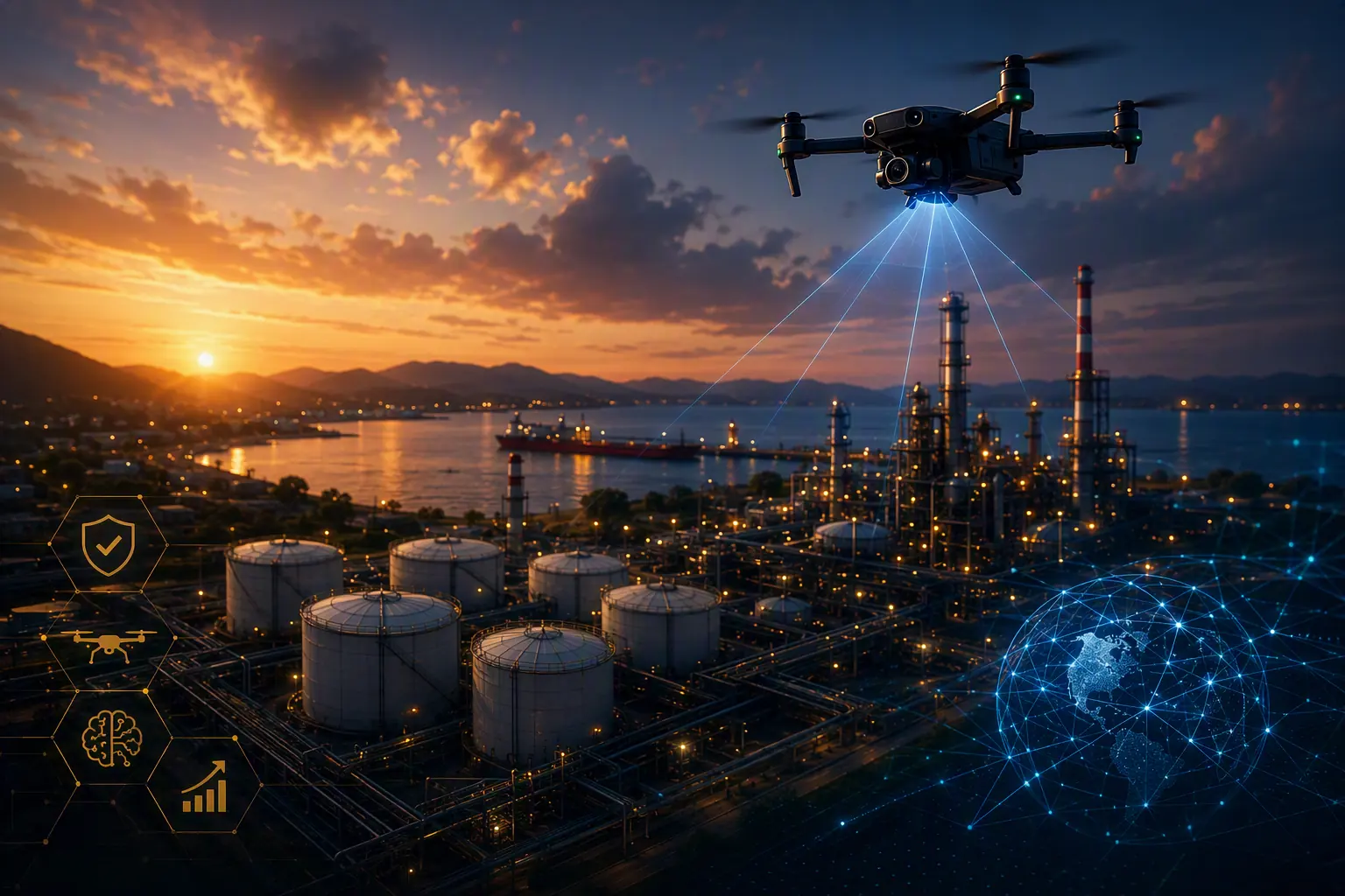
Autonomous capture, Vexta IQ computer vision, agentic orchestration, and multi-cloud analytics — the whole operating picture on one sheet.
Capture to Signal
Every Pass Returns More Than Pictures
A flight is a measurement. Sensors sweep the asset, models score every frame as it lands,
and only the exceptions travel onward to a human. The rest is archived as evidence.
01 Sensors sweep on a repeatable path
02 Vision models score frames in flight
03 Exceptions escalate, the rest is evidence
Autonomous
Drone-in-a-box operations
Azure + Fabric
Enterprise data integration
AI Vision
Automated anomaly detection
7 Sectors
Energy, AEC, land & public sector
Beyond Drones
Most Providers Deliver Images. We Deliver Answers.
A flight that ends in a folder of photographs has moved the problem, not solved it.
We integrate drone data with the enterprise systems, operational technology, and analytics
platforms already running your business — so aerial observation joins the same picture as
production, maintenance, and compliance data.
Imagery, IoT sensors, machine learning, and cloud analytics combine into one operational
view. What comes out is not a deliverable to interpret. It is a decision to make.
Monitor distributed and remote assets without dispatching a crew.
Failures Caught Early
Detect degradation while it is still a maintenance item, not an outage.
Lower Inspection Cost
Replace scaffolding, rope access, and shutdowns with scheduled flights.
Safer Field Work
Take people out of confined spaces, heights, and live process areas.
Faster Compliance
Evidence-grade, timestamped records generated as a by-product of flight.
Predictive Decisions
Trend asset condition over time and plan work before it becomes urgent.
The Pipeline
How NeuroVisionIQ Works
Four stages, one continuous loop — from the sensor in the air to the work order on the ground.
01
Capture
Autonomous Data Collection at Asset Scale
Drones fly pre-planned missions across facilities, infrastructure, land, and remote assets — collecting consistent, repeatable, high-resolution data without putting crews in harm’s way.
RGB & high-definition video
Thermal imaging
LiDAR
Multispectral sensors
Environmental sensors
GPS & geospatial telemetry
02
Connect
Aerial Data, Wired Into the Enterprise
Imagery lands securely in the platforms your business already runs on — joined to operational, engineering, and maintenance data so an observation becomes context, not another file share.
Microsoft Azure & Fabric
Databricks
SAP & Oracle
Cognite
GIS systems
Asset management & EAM
Engineering systems
OT environments
03
Analyze
Computer Vision That Never Gets Tired
AI and machine learning evaluate every frame as it arrives — flagging what matters with a consistency manual inspection can’t match, and cutting review effort dramatically.
Structural defects
Corrosion
Equipment degradation
Thermal anomalies
Environmental risk
Safety hazards
Vegetation encroachment
Leak indicators
04
Operationalize
Insight Delivered Where Decisions Happen
Findings arrive inside the dashboards, alerts, and work-management systems your teams already use — so an anomaly becomes a work order, not a slide in a report.
Executive dashboards
Automated alerts
Digital twins
Maintenance recommendations
Compliance reporting
Work order generation
Predictive analytics
Operational scorecards
The Next Step
Ready to become an agent-powered enterprise?
Build securely on Microsoft Azure, Microsoft Fabric, and Azure AI Foundry — with the human oversight, governance, and enterprise architecture required to move from AI pilots to production.
Fully autonomous inspection for distributed and mission-critical assets. The system launches,
flies, captures, analyzes, alerts, and docks itself — turning periodic inspection into
continuous situational awareness.
Your team stops flying the asset and starts acting on what the asset reports.
Our partnership with Vexta pairs autonomous drone technology with Neurocraft's artificial
intelligence, analytics, and enterprise integration capability — the two halves the market
usually asks you to buy separately and stitch together yourself.
From autonomous inspection and aerial intelligence through predictive maintenance and digital
twins, we help organizations pull more value out of physical assets while accelerating the
wider digital transformation already underway.
Few providers can put autonomous flight, enterprise AI, and cloud data engineering inside a
single engagement. We can — and we measure the result in safety, cost, and decision speed.
Advanced drone and drone-in-a-box capability delivered through our partnership ecosystem.
Enterprise AI
Computer vision, machine learning, predictive analytics, and agentic AI built for production scale.
Cloud & Data Depth
Microsoft Azure, Fabric, and Databricks expertise across governance and large-scale data engineering.
Industry Experience
Energy, industrial operations, infrastructure, and highly regulated government environments.
Outcome Focused
Measured against cost, risk, safety, and decision speed — not deliverable count.
We'd like to identify which companies visit this Site.
With your consent, we share your IP address with our business-intelligence partner, Apollo.io,
to see which companies (not individuals) are browsing our Site. This is separate from the strictly
necessary cookies that keep the Site secure, which are always on. Read our
Cookie Policy, Privacy Policy, or
your privacy choices.
We detected your browser's Global Privacy Control signal and have honored it —
company-identification tracking is off for this visit. See
your privacy choices.